
Understand the grades before comparing routes
Iceland’s route records use more than one grading system. Our tables identify the system next to the grade and preserve the selected source value. We do not silently translate an older grade into a new one.
| Label | Example | How to use it |
|---|---|---|
| French | 6a or 7a+ | Technical route difficulty. Check the route style separately. |
| YDS | 5.7 or 5.10a | The Yosemite Decimal System used in many local traditional climbing records. |
| Font | 6a or 6b+ | Bouldering grades as printed by the source. Do not compare directly with a French sport grade. |
A grade does not tell you the quality of protection, the chance of loose rock, the exposure below the belay or the consequence of a fall. In particular, a low number on a traditional route does not make it a beginner outing.
Build a climbing trip with room to change
Start with your experience
Sport climbing uses fixed protection, traditional climbing requires placing suitable removable protection, and bouldering relies on careful landing assessment and fall management. None is made safe simply by buying equipment. If you do not already have the necessary skills, arrange appropriate instruction before heading outdoors.
Choose a base, not a race around the island
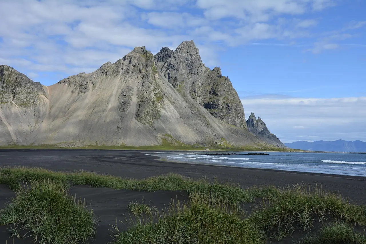
For a Reykjavík based trip, research the southwest areas and the indoor alternatives. For a southeast journey, compare Hnappavellir and Vestrahorn while recognising that they can involve very different styles. North Iceland, the Eastfjords and the Westfjords each deserve their own travel time and weather plan.
These are planning groupings, not driving itineraries. Do not assume that two areas in the same region fit into one climbing day. Use current road information and allow for the approach, climbing, descent and return journey.
Weather, daylight and the decision to stop
Check the local forecast, warnings and access information before departure and again when conditions change. Do not rely on a month of the year as proof of dry rock. Shorter daylight, wet approaches and cold conditions can change the practicality of a route well before the technical climbing begins.
Keep a dry weather alternative in your plan. A city day in Reykjavík or a suitable marked walk in Skaftafell may fit some itineraries, subject to their own conditions. The tourism news section is background reading, not an emergency alert feed.
Access is part of climbing well
Confirm landowner arrangements and parking, follow signs, keep noise low and carry out everything you bring. Do not bolt a new route or modify a hold without the required permissions. An online pin or someone else’s photograph is not permission to cross private land.
What to resolve before leaving the car
- The exact sector, route start and descent in an up to date topo.
- The protection, rope length and equipment needed for that specific objective.
- The suitability of anchors and rock, with the skills to recognise when to turn back.
- The approach, local restrictions, daylight and a realistic return time.
- A shared trip plan and a way to request help. Iceland’s emergency number is 112.
Local knowledge and indoor alternatives
Klifurhúsið and the Reykjavík climbing club ↗ provide current information about indoor climbing, instruction, guidebooks and crash pad rental. Ask about availability and requirements directly rather than assuming every facility offers equipment or automatic belays.
The club’s bolting fund supports climbing infrastructure and provides access to its updated Hnappavellir topo under the club’s terms. For Valþjófsdalur, follow the Westfjords Climbing Club ↗ and the area’s landowner arrangements.
Climbing questions, answered
Where should I start researching sport climbing in Iceland?
Compare Hnappavellir, Valshamar and Seyðisfjörður for different travel bases, and read each area’s access rules. Our selected grades help you research options; they are not beginner recommendations or confirmation of present conditions.
Can I climb outdoors without prior experience?
Do not use this directory to teach yourself outdoor safety systems. Arrange suitable instruction and supervision. Ask the provider what skills, equipment and conditions the activity requires.
Are there photos with route lines?
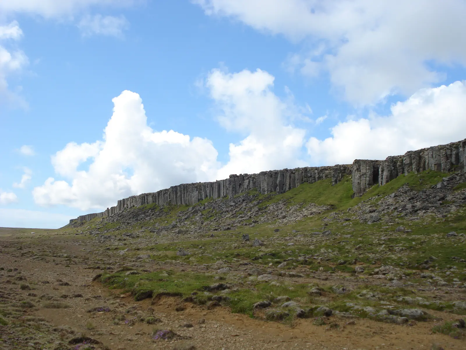
We link to the original area guides and topo sources. The publishers retain their own image rights. Our on site landscape photographs do not have route overlays because verified line geometry and qualifying reuse permission have not both been established.
Is every route on this website?
No. This edition includes 25 selected records across ten areas. The linked local databases and guidebooks contain more routes and more detailed identification material.
Do I need permission to visit a crag?
Requirements differ by area. Read the area notes, check with the relevant club or landowner and follow current signs. Valshamar and Valþjófsdalur have specific private land arrangements described in their guides.
How this guide is sourced
Route and area records were reviewed on 27 September 2026 using Klifur.is ↗, the linked individual records and climbing club information. Safety planning links point to the official services. No route has been field inspected for this publication.
Photo ownership and public domain or CC0 declarations are documented on the photo credits page. New lines will only be drawn when both reliable route identification and suitable image rights are available.