


Choose a designated stop, not an empty verge
If you want to see Eldhraun during a South Coast driving day, plan a visit beside the lowland lava field rather than navigating to the Laki craters. The two places share an eruption story but require very different journeys.
Visit South Iceland lists a viewing stop under the name Skaftáreldahraun, on Route 1 about 4 km before Kirkjubæjarklaustur. Its description identifies a car park and information board. This is a useful starting point for planning, not confirmation that access is clear on your travel date. [1]
Our map uses the destination coordinate on that official page. It marks the general viewing area, not a verified parking entrance or walking track. Follow the signed approach and current restrictions. If you miss the entrance, continue to a safe place to reconsider rather than stopping suddenly for a photograph.
Eldhraun near Klaustur
On the map
Explore the locations using the links below.
OpenFreeMap · © OpenMapTiles · © OpenStreetMap
General viewing area marker from the official tourism listing. Not an exact parking entrance or walking route. Follow signs and current restrictions.
Location sources
Read the landscape as more than green scenery
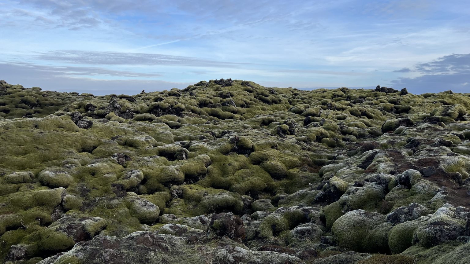
The national park explains that the Skaftáreldar eruption in 1783 and 1784 sent lava from Lakagígar into settled lowlands. Eldhraun and Brunahraun are the two great lava tongues it names. Farms and grazing land were destroyed, and volcanic pollution contributed to a devastating period of hardship. [2]
The contrast is worth pausing over: a rounded, green surface today records an event that transformed livelihoods. Read the information board before taking your photographs. Looking for the shapes beneath the vegetation can make a short stop more rewarding without needing to walk far.
Leave the moss untouched
Visit Iceland warns that damaged vegetation can take many years to recover and that delicate moss may need far longer. Lava taken or broken away cannot repair itself. [3]
Keep to designated visitor surfaces. Do not step onto the moss for a portrait, sit on it, pull it loose or move stones to make a composition. A gap or flattened patch left by other visitors is not an invitation to follow. Frame the landscape from where you are permitted to stand.
For a close photograph, use your camera’s zoom rather than reaching the subject on foot. Leave room for others to pass and take everything you brought away with you. The aim is a good look at the landscape, not a new footprint across it.
Lakagígar needs its own travel decision
Do not turn a roadside lava field stop into an improvised drive to the eruption’s source. The national park says the Lakagígar approach on F206 and F207 requires four wheel drive and includes four unbridged river crossings. It directs visitors to ask at the visitor centre in Klaustur about road conditions. [2]
A Route 1 viewing area and a Highland crater visit are not interchangeable destinations. A suitable vehicle alone does not establish that a mountain road or river crossing is passable. Plan the latter separately with current official advice.
Fit Eldhraun around the journey you already have
Our suggestion is to treat the lava field as an optional landscape pause, not a fixed appointment. Choose a stop only if access, weather and your remaining daylight support it. Leave enough time for the drive to your overnight destination instead of trying to recover lost time on the road.
Safetravel emphasises preparation for changing wind, rain and cold, and changing or cancelling an outdoor plan when the forecast does not suit it. Keep weather protection accessible in the car and check the conditions before stepping out. [4]
Use our Kirkjubæjarklaustur guide when you also need a village break or want to choose a local walk. For a longer trip, the Vík to Höfn itinerary helps decide which destination deserves the main activity of each day. Eldhraun does not need to become another long walk.
In darker months, start with the winter driving plan. Our Travel conditions page links dated snapshots to the official services. Check Umferðin for the actual road journey and follow local signs on arrival. This guide does not confirm today’s parking availability or surface conditions. [5]
Common questions
Is an Eldhraun stop the same as visiting Laki?
No. This guide covers a lowland viewing stop beside Route 1. Lakagígar is a separate Highland journey with different vehicle and access requirements.
Can I walk on the moss?
Keep off the moss and use only designated visitor surfaces. Do not copy a photograph that shows someone standing or sitting on the vegetation.
Does the map show the exact parking entrance?
No. It uses the official tourism destination coordinate as a general viewing area marker. Use signs and current local information for the approach.
Sources & useful links
Checked 25 October 2026. Trail access, weather and operator details can change.