

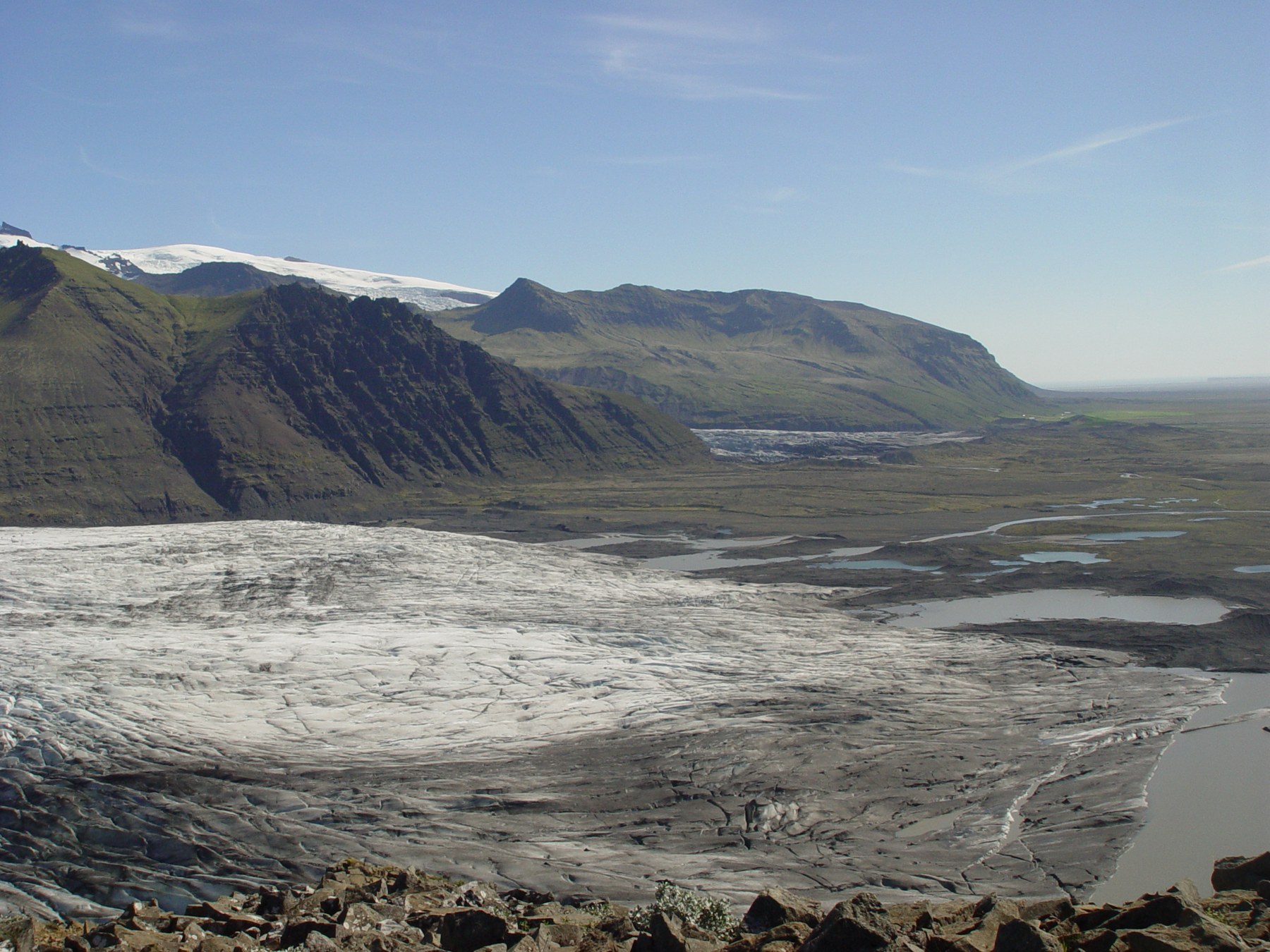
Begin with the walk you have time for
For a shorter glacier landscape walk, start by considering S1. For a waterfall and hillside circuit, compare S2. S5 and S6 suit a longer outing towards the Sjónarnípa viewpoint, while S3 and S4 need a much larger part of your day. The table below uses the national park’s published figures so you can compare the choices on the same basis.
First check access, then choose the experience. A route description explains the usual circuit; it does not confirm that every section is open for your visit. Our Skaftafell overview covers the wider visit, while this guide focuses on choosing a trail.
Skaftafell
On the map
Explore the locations using the links below.
OpenFreeMap · © OpenMapTiles · © OpenStreetMap
Visitor area marker. Use the national park maps and signs for hiking routes.
Location sources
Access check: 29 September 2026
The park’s notice lists Austurbrekkur as closed from 1 to 30 September 2026 for path work. S3, S4, S5 and S6 describe returning through that section, so their normal circuits are affected during the closure. Ask the visitor centre which options are available and follow the posted barriers. Do not assume reopening from the date alone. [7]
The comparison is for planning future walks as well as a visit now. For the latest position, open the park’s Skaftafell page and check with rangers before starting. No alternative route around the work is proposed here.
Six Skaftafell trails compared
| Route | Distance | Park time | Listed ascent | Park grade |
|---|---|---|---|---|
| S1 Glacier trail [1] | 4.1 km | 1 to 1.5 hours | 80 m | Easy |
| S2 Svartifoss, Sjónarsker and Sel [2] | 5.8 km | 2 hours | 250 m | Easy |
| S5 Sjónarnípa [3] | 6.5 km | 2 to 2.5 hours | 320 m | Challenging |
| S6 Svartifoss and Sjónarnípa [4] | 7.1 km | 2.5 to 3 hours | 310 m | Challenging |
| S3 Skaftafellsheiði [5] | 16.6 km | 5 to 6 hours | 765 m | Challenging |
| S4 Kristínartindar [6] | 17.9 km | 6 to 8 hours | 1,215 m | Difficult |
These are whole circuit distances, not distances to double for the return. Grades describe the published route and cannot account for your fitness, ice, strong wind or a closure. Use the linked individual route page when a rounded figure elsewhere differs.
S1 or S2: the shorter choices
S1 for the glacier landscape
S1 has the lowest listed ascent in this comparison. It starts east of Skaftafellsstofa and combines paved and gravel surfaces. Numbered interpretation stops explain features left by the retreating ice. Choose it when the glacier landscape matters more to you than reaching a higher viewpoint. [1]
Allow time to read the signs rather than treating the endpoint as the only attraction. Follow warnings and marked visitor access near the glacier. If your aim is to walk on ice, use our separate glacier walk guide to plan an appropriate guided activity.
S2 for Svartifoss and a hillside circuit
S2 links Svartifoss with Sjónarsker and Sel. Its easy grade still includes 250 metres of ascent and steps. The park warns that wet surfaces can be slippery and winter snow or ice can make the path more difficult. Those details matter if your group needs a flatter walk. [2]
For a visit centred on the waterfall, read our Svartifoss guide. The 5.8 km figure above is for the full named circuit, not every possible visit to the waterfall.
S5 or S6: choose whether to include Svartifoss
Both routes take in Sjónarnípa, with views towards Skaftafellsjökull and the surrounding mountains. S5 turns towards the viewpoint before reaching Svartifoss. S6 continues to the viewpoint above the waterfall before taking the signed path towards Sjónarnípa. Both published returns use Austurbrekkur. [3] [4]
Our planning suggestion is S5 when the glacier viewpoint is your main goal, or S6 when you want the waterfall as part of the same outing, subject to confirmed access. The park lists only 0.6 km between their total distances, but compare the complete time and terrain rather than adding that difference to an unrelated route.
Sjónarsker, named in S2, and Sjónarnípa, named in S5 and S6, are different viewpoints. Save the route number with the name so you can compare the signs accurately.
S3 or S4: plan a mountain day
S3 circles Skaftafellsheiði through a landscape between glacier valleys. S4 adds the more demanding Kristínartindar section. The distance difference looks modest, but the park lists substantially more ascent for S4 and describes steep scree near the peaks. It is a route for experienced hikers. [5] [6]
Choose either only when the whole circuit, your equipment, visibility and available daylight fit. The park describes spring closures on S3 because of wet ground, sometimes lasting into June. S4 can also remain closed into June during thawing, with no alternative route to the peaks. A summer trail description is not a winter recommendation. [5] [6]
Build a realistic walking day
Start with when you need to be back at the visitor area. Subtract time for eating, photographs, slower walking and the journey to your next stop. That gives you a walking allowance to compare with the table. If a route only fits when everything goes perfectly, shorten the plan.
Check Travel conditions and the linked official services before leaving. Carry a phone, warm layers and protection from rain and wind. Safetravel recommends a hat and gloves even for short hikes, and suitable navigation equipment for longer outings. Leave a travel plan when heading out for a day hike. [8]
Skaftafellsstofa provides trail advice throughout the year. Describe your group’s pace and any difficulty with steps or uneven ground when asking for a route suggestion. [9]
Questions before choosing
Which of these walks has the least ascent?
S1 has the lowest published ascent in this selection at 80 metres. Check the surface and conditions before deciding whether it suits everyone in your group.
Can I combine Svartifoss and Sjónarnípa?
The park publishes S6 as that combined circuit. Check the Austurbrekkur access notice and ask rangers about the route available on your visit date.
Is the map a navigation track?
No. It marks the Skaftafell visitor area. Use the national park’s route information, maps and signs for the actual walk.
Do the walking times include a glacier tour?
No. These figures describe marked hiking routes. A guided glacier activity has its own meeting point, duration and equipment requirements.
Sources & useful links
Checked 29 September 2026. Trail access, weather and operator details can change.
- National park: S1 Glacier trail ↗
- National park: S2 Svartifoss, Sjónarsker and Sel ↗
- National park: S5 Sjónarnípa ↗
- National park: S6 Svartifoss and Sjónarnípa ↗
- National park: S3 Skaftafellsheiði ↗
- National park: S4 Kristínartindar ↗
- National park: Austurbrekkur closure notice ↗
- Safetravel: hiking preparation ↗
- National park: Skaftafell visitor information ↗