


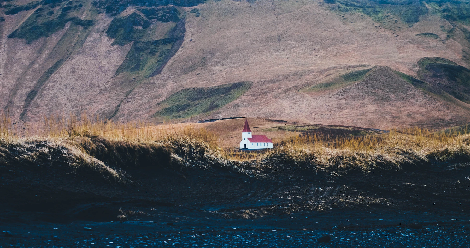
Choose your kind of stop
Vík works well as a place to pause between South Coast outings. Our suggestion is to decide first whether you want a meal and a look around, a half day in the area, or an overnight base. That choice makes it easier to leave room for the village instead of arriving with only enough time to refuel and leave.
Vík í Mýrdal is Iceland’s southernmost village, within Katla UNESCO Global Geopark. Its setting brings together black sand, steep hills and a community whose trading history developed without a harbour. Visit South Iceland describes both that history and the wider landscape. [1]
| Your plan | A useful focus | Keep optional |
|---|---|---|
| A short stop | A meal and a look around the village | A separate drive to another viewpoint |
| Half a day | The visitor centre or pool, plus one coastal stop if permitted | A second outdoor destination |
| An overnight stay | Time in town, with nearby outings divided across two days | An early departure or late evening drive |
These are planning suggestions, not measured visit durations. Add the actual journey from your starting point, opening times and any fixed activity check in before choosing a version.
Vík and Mýrdalur
On the map
Explore the locations using the links below.
OpenFreeMap · © OpenMapTiles · © OpenStreetMap
Village area marker only. Use current local information for entrances, parking and paths.
Location sources
Spend time in Vík itself
Start with the landscape’s story
The Katla Visitor Centre is in Brydebúð at Víkurbraut 28. Its exhibition introduces the local volcanic landscape, while the Hafnleysa Maritime Museum explores the difficult relationship between this coast and seafaring, including the ship Skaftfellingur. The centre also provides local information and maps. [2]
This is a useful first stop if you want more context for the scenery you have been driving through. Ask about the places you are considering that day, then choose an outing that fits the current advice. Check the centre’s opening arrangements before making it the anchor of your visit.
Leave room for a meal and the local streets
Vík’s local visitor website lists restaurants, cafés, shops and accommodation. Use it to choose somewhere that fits your group, rather than treating a single restaurant recommendation as essential. Check opening times directly, particularly if you expect to arrive late. [7]
A simple village visit can be enough: get something to eat, look around the streets and enjoy the relationship between the houses and the hills. Respect residential entrances and church activity when taking photographs. You do not need to turn a stop into a long hike to make it worthwhile.
Consider the swimming pool
The municipality’s sports centre at Mánabraut 3 includes a swimming pool, hot tub and sauna. Its visitor page explains that opening hours vary with the season and school use. Follow the municipal link for current hours and charges instead of relying on an old price list. [3]
Bring swimwear and a towel if a pool stop appeals. Give it a proper place in the day, with time to change afterwards. If exposed coastal viewpoints are unsuitable, check which town facilities are operating before switching plans.
Choose one coastal visit
For the beach destination itself, our Reynisfjara visitor guide explains the dated viewpoint restriction, arrival checks and why a warning colour alone does not establish access.
Be precise with destination names. A stop in Vík village and a visit to Reynisfjara are separate plans. The basalt columns often shown in beach photographs belong to the Reynisfjara side of Reynisfjall; Reynisdrangar are the rock stacks offshore. Use the named destination when planning transport, rather than a generic search for a black beach. [6]
Safetravel’s notice says storm conditions and high waves restrict visits to the viewpoint, even though its sneaker wave alert is not at red level. Read the current original notice before going and follow closures and instructions at the site. This dated guide does not establish access for a later visit. [4]
Safetravel warns about sudden waves and falling rocks. Keep well away from the water, watch the sea and supervise children. Do not take a quiet interval between waves, or other people’s position, as permission to approach. A different stretch of sand is not a workaround for hazardous coastal conditions. [4]
Dyrhólaey is a separate outing
Our Dyrhólaey viewpoint guide compares the lower headland with the lighthouse area and explains how to check seasonal restrictions before choosing your outing.
Dyrhólaey offers a headland landscape with a natural rock arch. The Nature Conservation Agency describes access from Road 218 and distinguishes the lower Lágey area from upper Háey. It warns that the upper road can be hazardous in winter. Check its visitor information, access restrictions and local signs before adding the stop. [5]
Our practical suggestion is to choose either a permitted Reynisfjara viewpoint visit or Dyrhólaey as your main coastal outing, then return to the village. Add another stop only if the conditions, daylight and onward journey leave comfortable space. Do not build your day around getting a particular photograph.
Plan the journey beyond Vík
If Skógafoss is on your route, our Skógafoss guide separates the base view, upper viewpoint and longer mountain trail so one stop does not expand by accident.
For a different short detour east of the village, our Yoda Cave guide separates the cave visit from the longer Hjörleifshöfði hill walk and explains the current parking check.
If Sólheimajökull is part of the same trip, decide whether you want a land visit or an arranged glacier activity before allocating time. Our Sólheimajökull guide explains that distinction and links the local access advice. An activity’s meeting point and full duration need their own check.
For a return towards the capital, leave enough time for the drive and a break instead of saving every unvisited stop for the evening. Our Reykjavík guide can help you plan a lighter city day on either side of the journey.
If you are heading onwards to Skaftafell or Höfn, work backwards from where you will sleep. Choose what matters most before filling the space between destinations. The Skaftafell overview is a separate planning guide for trails and glacier scenery farther east.
For a staged journey, use our two day plan from Vík to Höfn. It gives Skaftafell and Jökulsárlón separate priorities and shows which optional stops to remove when weather or time changes.
Before leaving, check official road information, the Icelandic Meteorological Office and Safetravel. Our Travel conditions page supplies dated snapshots and official links. A shorter day that leaves room to adjust is more useful than a timetable that depends on every stop going exactly to plan.
Common questions
Is Vík the same place as Reynisfjara?
No. Treat the village and the named beach destination as separate stops. Check your destination and current beach access before setting out.
Is Vík worth visiting if I skip the beach?
Yes. A meal, the visitor centre or the municipal pool can give the village a useful place in your trip. Check opening arrangements before choosing your plan.
Should I stay overnight?
Consider it if it gives you room to divide nearby outings and avoid a rushed onward drive. Decide from your full itinerary, daylight and accommodation arrangements rather than the number of attractions on a list.
Does the map show a walking route?
No. It marks the general village location from official destination coordinates. Use local signs and current advice for paths, parking and individual entrances.
Sources & useful links
Checked 3 October 2026. Trail access, weather and operator details can change.
- Visit South Iceland: Vík village and location ↗
- Visit South Iceland: Katla Visitor Centre ↗
- Mýrdalshreppur: sports centre and swimming pool ↗
- Safetravel: Reynisfjara safety and access ↗
- Nature Conservation Agency: Dyrhólaey visitor information ↗
- Visit South Iceland: Reynisfjara and Reynisdrangar ↗
- Visit Vík: local services and activities ↗