


Choose the cave or the hill before you turn off
Yoda Cave and the walk over Hjörleifshöfði are different outings at the same landmark. If the cave opening is your reason for stopping, plan that first. Do not assume that a description of the hill walk also tells you how to reach the cave, where to leave a vehicle or how much daylight the longer outing needs.
The land operator identifies the cave as Gígjagjá. Its familiar nickname comes from the shape of the opening when viewed from inside. The same operator presents Hjörleifshöfði as a separate landmark with its own history and hill walk. [1]
A cave photograph can be a short destination goal. A hill walk needs its own check of weather, footing, daylight and the abilities of your group. Reaching one does not mean you have planned the other.
Hjörleifshöfði near Vík
On the map
Explore the locations using the links below.
OpenFreeMap · © OpenMapTiles · © OpenStreetMap
Headland area marker only. This is not the cave entrance, parking position or an approved walking route. Follow current signs and operator instructions.
Location sources
Know what you are visiting
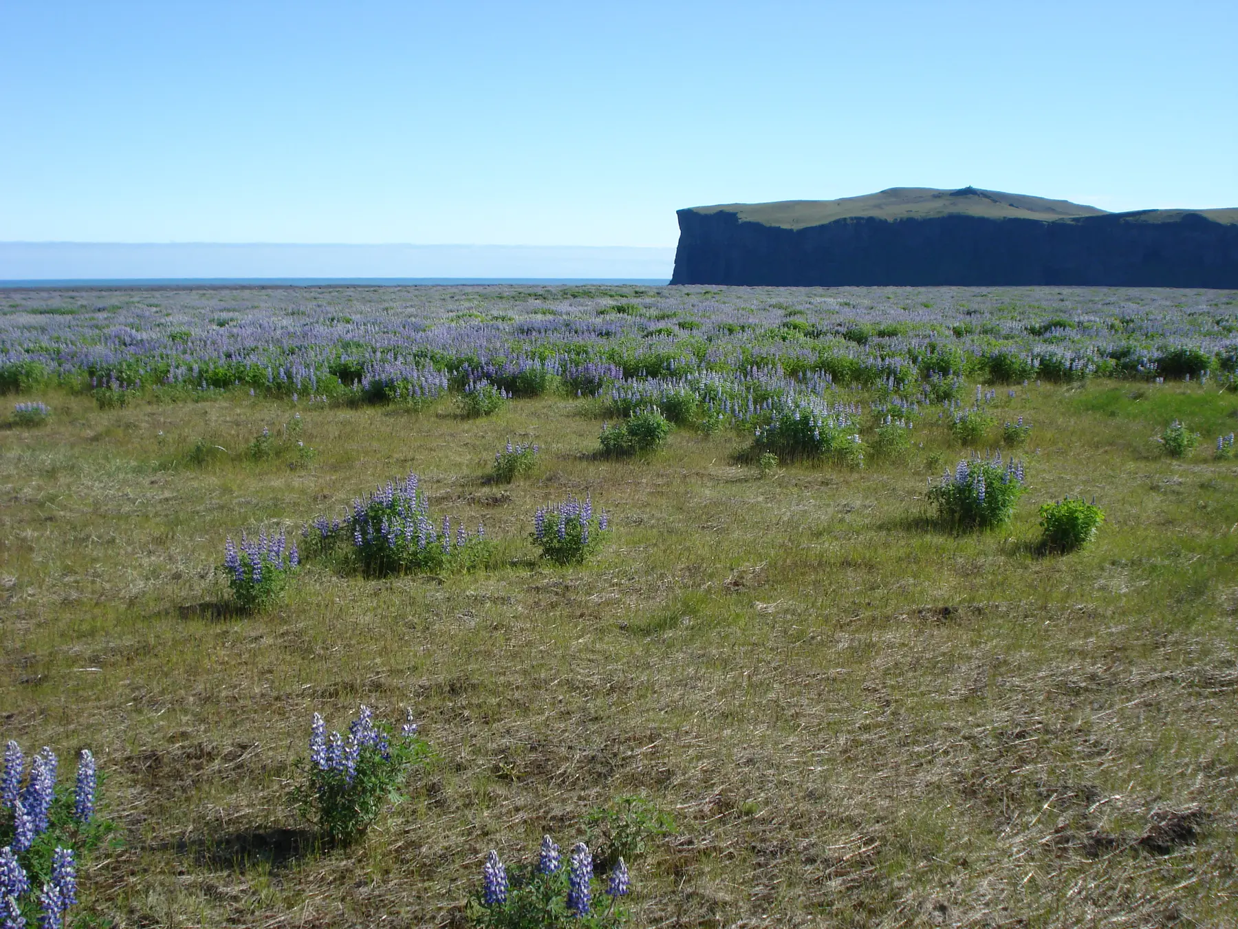
Visit South Iceland describes Hjörleifshöfði as a 220 metre tuya cliff on Mýrdalssandur. It explains that the landform was once an island and is now surrounded by sand deposited after repeated glacial floods from Katla. [3]
That wider setting is part of the stop. Look at the isolated headland, the sand plain and the changing view towards the coast rather than treating the cave as a single photograph to collect. The landscape also explains why old route descriptions should not replace current signs and operator information.
The operator says the cave opening resembles Yoda when seen from inside. This guide uses that popular name to help travellers find the correct place, but it does not claim that every angle has the same outline. [1]
Confirm parking before arrival
Viking Park currently states that parking is paid, that the charge depends on vehicle size, that one payment covers one vehicle for the day and that the first 5 minutes are free. Its page links the payment service used at the site. It does not publish the amount as accessible text, so this guide does not repeat a price from an old sign, search result or third party article. [2]
Open the operator page before setting out and follow the payment instructions displayed when you arrive. Do not assume that a fee mentioned in an older article still applies. Use only an authorised place for your vehicle and do not create a new stopping point on the sand.
Use the map as an area guide
Our map marks the Hjörleifshöfði area using the coordinate published by Visit South Iceland. That source identifies the destination with Road 1, but its marker is not proof of the exact cave entrance, parking position or an approved walking line. [3]
Follow current signs and operator directions rather than driving towards the map marker across open ground. If the marked approach differs from an old photograph or saved pin, use the instructions at the site. The map helps you place the headland east of Vík; it does not replace local access information.
Check roads, weather and daylight
Check Umferðin for the road journey before leaving Vík or continuing from the east. A clear Route 1 snapshot does not confirm the condition of every local surface, so slow down for signs and be prepared to leave the stop for another day. [4]
Use the Icelandic Meteorological Office forecast for wind, precipitation and visibility. An exposed sand plain can feel very different from a sheltered stop in town. Safetravel advises travellers to check conditions, carry suitable clothing and change a plan when the weather does not support it. [5] [6]
Keep a warm layer and rain protection where you can reach them. In the darker months, decide how much daylight you need for the drive first. The cave is not a reason to finish the hill in poor light or rush the onward journey.
Fit the stop into a day around Vík
Start with our Vík guide if you are still choosing between the village and nearby landscapes. Yoda Cave works best as one deliberate addition, not another item placed between several fixed appointments.
If your overnight destination is farther east, use the Vík to Höfn itinerary to choose a main visit for the day. Skip the detour when the weather, daylight or your arrival time has already changed. Our Travel conditions page collects dated snapshots and links to the official services, but it is not a real time emergency service.
Before leaving the vehicle, agree on whether the group is visiting the cave only or also considering the hill. A clear decision prevents a short stop from becoming an unplanned walk without the right clothing, water or daylight.
Common questions
Is Yoda Cave the same as Hjörleifshöfði?
Gígjagjá is a cave at Hjörleifshöfði. The cave stop and the walk over the headland are separate outing decisions.
Is parking free?
The operator currently describes paid parking by vehicle size and says the first 5 minutes are free. Check the current operator page and the instructions on arrival for the actual charge.
Does the map show the cave entrance?
No. It uses the official regional tourism coordinate for the Hjörleifshöfði area. It is not an exact cave, parking or walking route marker.
Can I rely on an old travel article for access?
No. Use current operator information, signs, road information and weather before setting out. Old photographs and prices do not establish present access.
Sources & useful links
Checked 27 October 2026. Trail access, weather and operator details can change.