


What did the pupils measure?
In October 2026, pupils from Hvolsskóli measured 1200 metres from a cairn built in 2010 to the glacier front. That does not mean the ice retreated 1200 metres: there was already a gap when the cairn was built. The school reports 882 metres of retreat since the first measurement, including 290 metres since the previous one. [1]
These are distances from a fixed reference, not from the car park. The team reached the ice front by boat with help from a rescue team. Do not use their measurement to estimate a walk or try to repeat it.
South Iceland
On the map
Explore the locations using the links below.
OpenFreeMap · © OpenMapTiles · © OpenStreetMap
Glacier area only. The marker is not the measuring cairn, the ice front or a walking route.
Location sources
How can ice flow forward and still retreat?
Think of the ice front as a boundary, not a single block of ice. Ice flows downhill into the valley from Mýrdalsjökull. If ice disappears at the lower end faster than new ice arrives, the boundary shifts uphill even as ice inside the glacier continues downhill. [2]
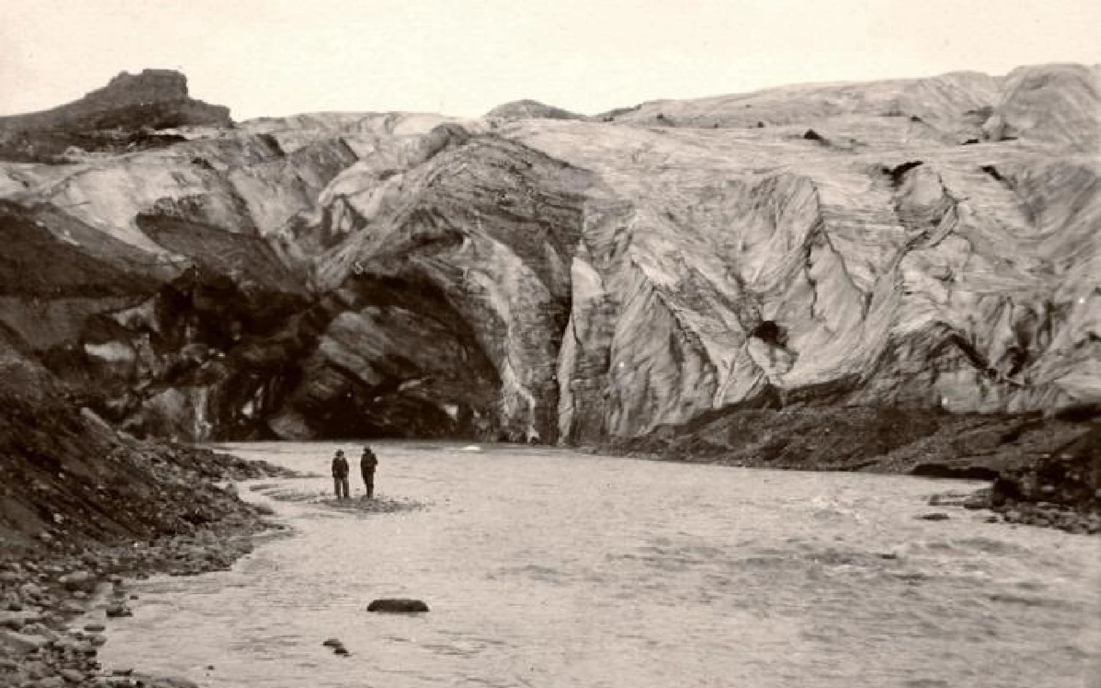
That boundary has moved in both directions. Katla Geopark records an advance between 1969 and 1995, followed by retreat. A lagoon began forming in front of the glacier in 2011. The water in a newer picture may occupy ground that was under ice in an older one. [2]
Compare photographs from land
Start with a ridge on the valley wall that you can pick out in both pictures. Compare where the ice meets that ridge, then look at the water between the ice and the foreground. A closer crop can make a distant ice front look larger. Without a common landmark and a known scale, a photograph cannot tell you how many metres the ice moved.
Do not seek out the original camera position. Safetravel warns about unstable ice between the lagoons and rockfall below Jökulhaus. Stay away from the lagoons and ice formations, follow posted restrictions and check the notice before visiting. If there is no permitted place to compare the views, use the photographs at home. [3]
For the separate question of how to plan your stop, see our Sólheimajökull visitor guide.
Sources & useful links
Checked 11 November 2026. Trail access, weather and operator details can change.