


Decide whether the stop fits your day
Urriðafoss is a broad waterfall in the Þjórsá river east of Selfoss. Visit South Iceland places it just off Route 1, reached by road 302. That makes it possible to consider during a driving day, but the map pin alone does not tell you whether the approach suits the weather, road surface or your vehicle when you arrive. [1]
Choose one purpose for the stop: a view of the river and falls. Do not turn it into a deadline between a meal in Selfoss and several larger South Coast destinations. If daylight, weather or the next check in time is tight, keep moving and save the waterfall for another journey.
Urriðafoss and Þjórsá
On the map
Explore the locations using the links below.
OpenFreeMap · © OpenMapTiles · © OpenStreetMap
Waterfall area marker only. It does not identify a parking entrance, walking route or safe viewpoint. Follow current signs, barriers and official road information.
Location sources
Use the signed approach
The regional tourism listing gives road number 302 and destination coordinates. Use current signs and the official road service rather than stopping on Route 1 or choosing an unsigned track because it looks closer on a map. Our map marks the waterfall area only. It is not a parking entrance, a walking route or a safe standing place. [1]
Visit South Iceland describes the summer road as bumpy and says winter conditions are more difficult. Treat that as general planning context, not a current access report. Check Umferðin before the detour and turn back if signs, closures or the surface do not support the visit. [2] [4]
Read the river landscape
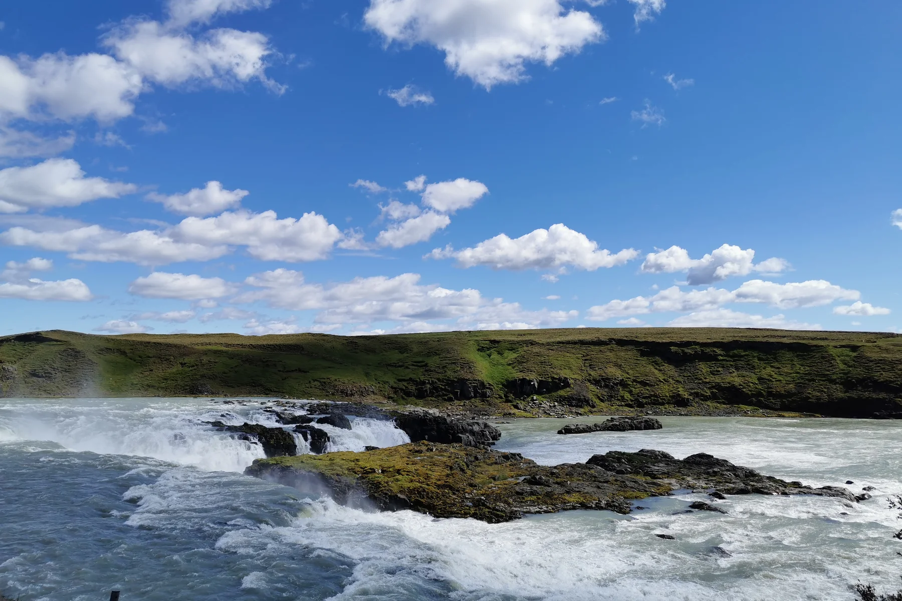
Þjórsá is Iceland's longest river, and the regional tourism board describes Urriðafoss as the country's most voluminous waterfall. The water meets the edge of the Þjórsárhraun lava field here, creating a wide river scene rather than a single narrow drop. [1]
Look at how the current splits around dark rock islands and how the opposite bank reveals the layers beside the river. The hero photograph was taken in July 2022. It identifies the place, but it does not show today's flow, weather, path surface or access.
Keep the visit simple
Stay in the established visitor area and behind any barriers. A powerful river deserves distance even when the visible drop looks low. Spray, wet rock, ice and strong wind can change the edge quickly. Do not climb onto rock islands or approach the water for a photograph.
There is no reason to promise a fixed visit length. Someone taking one view and returning to the car needs a different amount of time from a photographer waiting for light. Decide your own turning point before the stop starts, and keep children close.
Check Safetravel for current advice and use Umferðin for road information. The road service explains that its traffic service gathers road and weather information and publishes notices through Umferðin. [3] [4] [5]
Protect the rest of the day
If you are starting nearby, our Selfoss town guide helps you choose a meal, culture stop or separate woodland outing without combining all three.
For a longer waterfall day, our Skógafoss guide separates the base view, upper viewpoint and mountain route. Urriðafoss should not be treated as a warm up that forces you to rush the larger stop.
If you are continuing toward Vík or farther east, use the Travel conditions page for dated snapshots and links to the official road, weather and safety services. Recheck the original services before decisions on the road.
Common questions
Is Urriðafoss on Route 1?
It is near Route 1, with the regional tourism board listing road 302 for the destination. Follow current signs and do not stop on the main road.
Does the map show parking or a path?
No. It marks the waterfall area using official destination coordinates. It does not identify a parking entrance, walking route or safe viewpoint.
Can I rely on summer access information in winter?
No. Check current road, weather and safety information. Conditions and closures can change, and a general destination description is not a current access report.
How long should I allow?
Choose the stop only if it fits your daylight and onward journey. This guide does not promise a fixed visit time because conditions, pace and your reason for stopping differ.
Sources & useful links
Checked 8 November 2026. Trail access, weather and operator details can change.