


Count the walk twice
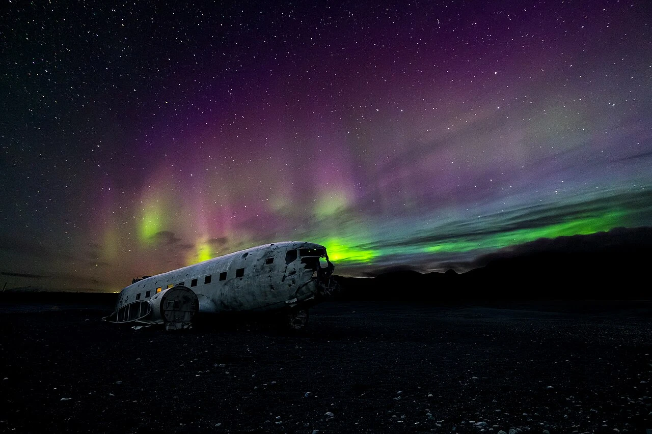
The pale shell on the sand is what remains of a US Navy aircraft that landed here in 1973. Everyone aboard survived. The plain itself was shaped by glacial floods from the Katla volcanic system. That broad expanse is part of the appeal, but it also makes a poor place to lose sight of your way back. [1]
Leave your vehicle at the designated parking area beside Route 1. Private cars cannot drive out to the wreck. Visit South Iceland estimates just under an hour on foot each way. That is walking time, not the whole visit: allow for photographs, the return across the sand and the pace of the slowest person in your group. [1]
South Iceland
On the map
Explore the locations using the links below.
OpenFreeMap · © OpenMapTiles · © OpenStreetMap
Destination area only. Not a parking or shuttle location.
Location sources
Check the ride back
A shuttle covers the distance between the parking area and the wreck. If seeing the aircraft matters more to you than walking the plain, check that the service is operating on your date and ask when you can ride back before you set out. Do not count on finding a seat for the return after walking out independently. [2]
When to keep driving
In winter, work backwards from the daylight you need to reach your car. If you only have enough light for the outward walk, skip it. Check the forecast before leaving Route 1. If visibility worsens before you reach the wreck, turn back while you can still follow the way you came. The regional tourism board specifically warns that it is easy to lose your bearings here. [1]
The map marks the destination area, not a driving route or a pickup point. For a shorter stop with food and shelter, see our Vík village guide. Before continuing along the coast, check Travel conditions.
Sources & useful links
Checked 12 November 2026. Trail access, weather and operator details can change.